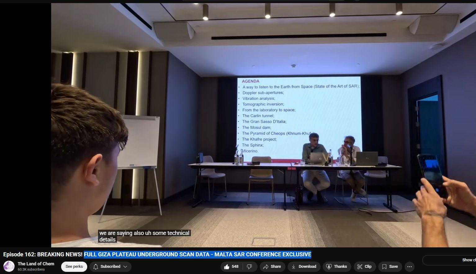
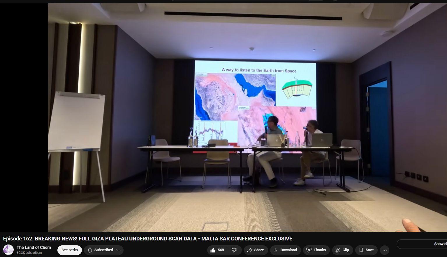
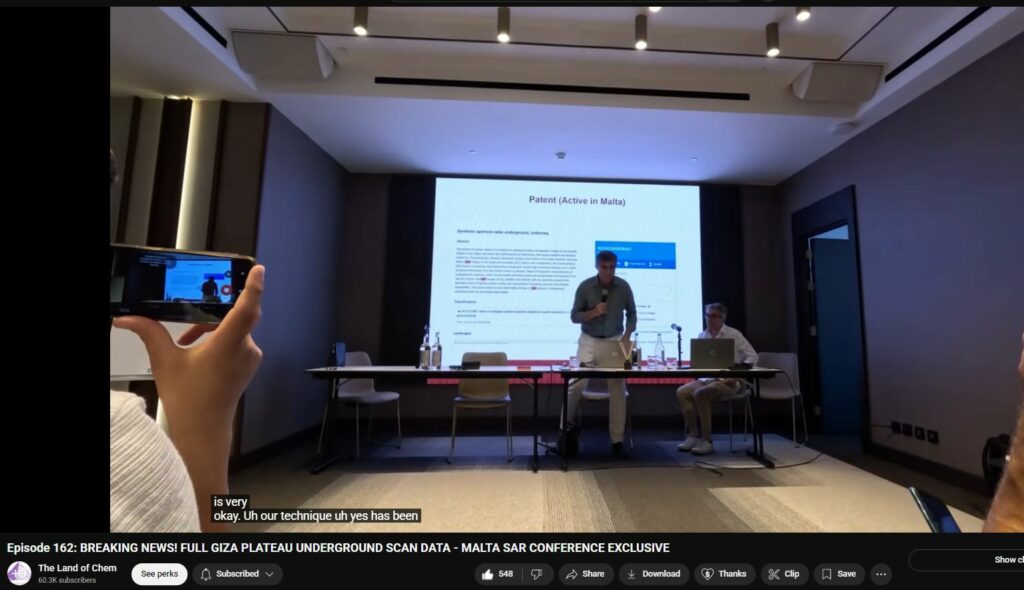
Full Giza Plateau Underground scan data – Malta SAR Conference – Jun 2025
Operation / Theory of Synthetic Aperture RADAR
https://www.youtube.com/watch?v=GIUI7MjVGRU
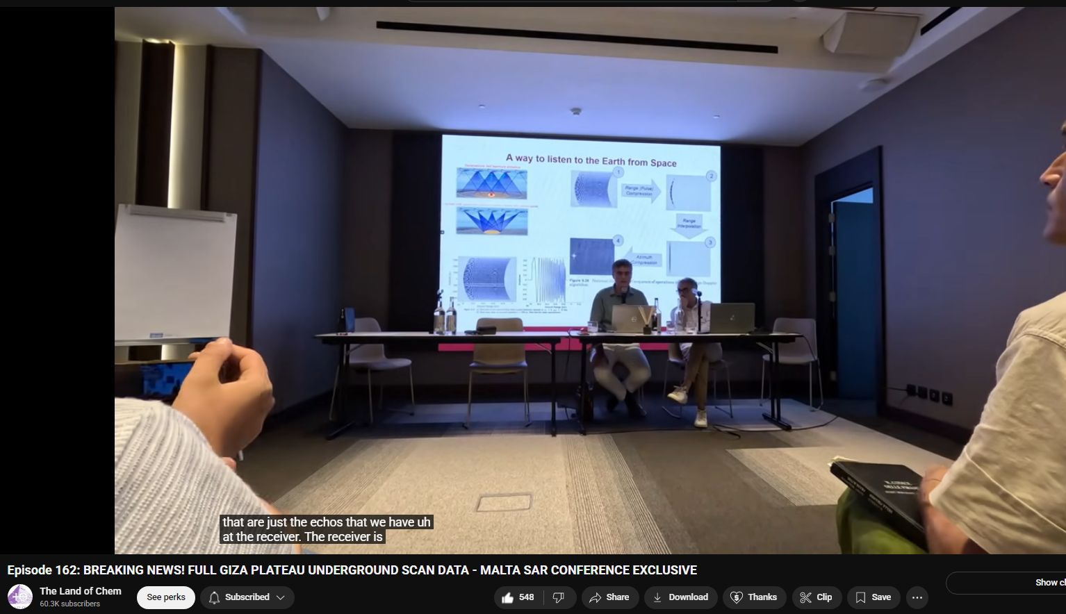
Synthetic Aperture Radar (SAR) is a remote sensing technology that uses radar signals to produce high-resolution images of landscapes and objects, even through clouds, smoke, or darkness. It plays a critical role in surveillance, geology, archaeology, and planetary exploration.
OVERVIEW: WHAT IS SYNTHETIC APERTURE RADAR (SAR)?
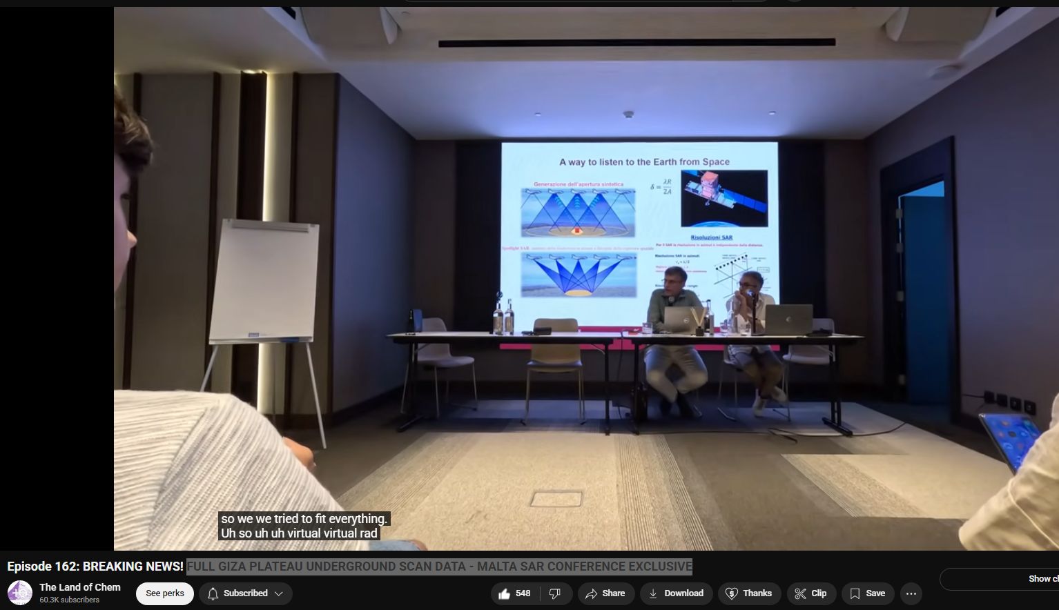
SAR is an active radar system that emits microwave pulses from a moving platform (typically a satellite or aircraft) toward the Earth’s surface. It uses the motion of the radar antenna over time to simulate a much larger antenna (or aperture)—hence “synthetic aperture.”
Unlike optical cameras, SAR:
- Operates in microwave bands (X, C, L, S, etc.).
- Functions day or night, and penetrates clouds, dust, vegetation, and sometimes ground or walls.
- Can achieve very high-resolution imaging regardless of weather or light.
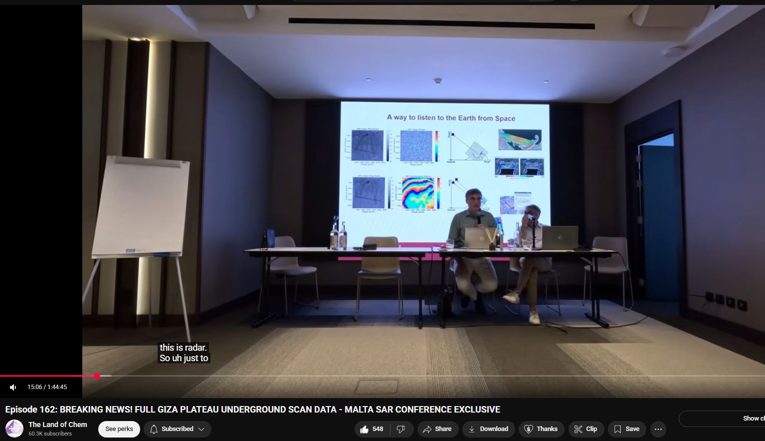
HOW SAR TECHNOLOGY WORKS
1. Pulse Emission and Reflection
- The SAR antenna emits coherent microwave pulses (with known phase and timing).
- These pulses bounce off objects and terrain and are received back by the sensor.
2. Synthetic Aperture
- As the aircraft/satellite moves forward, multiple reflections are gathered from slightly different angles.
- The system combines these using Doppler shift and interferometric techniques to simulate a much larger antenna—yielding much finer spatial resolution than a real physical antenna of the same size.
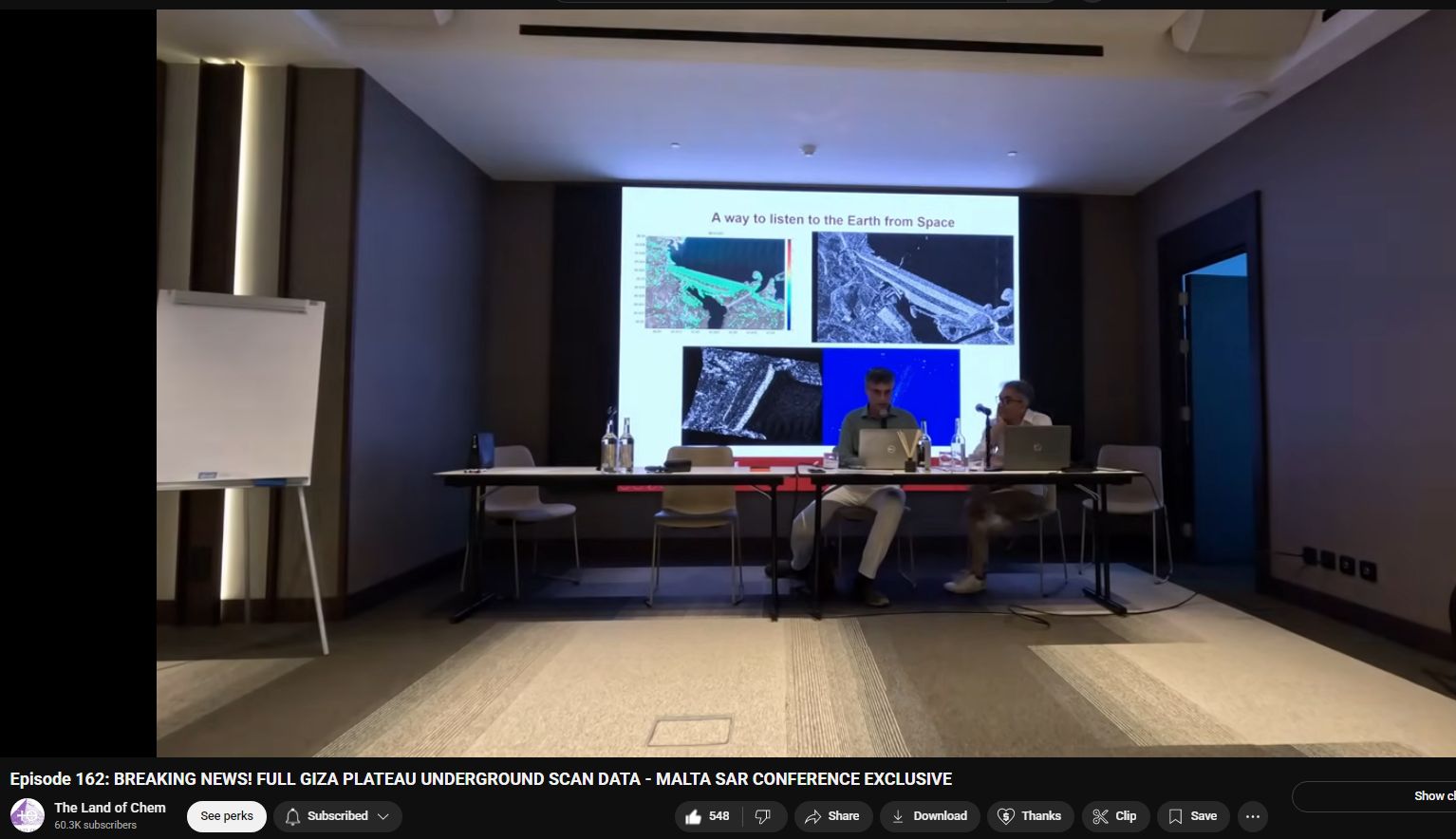
3. Image Formation
- Backscattered signals are processed into a 2D or 3D radar image using Fourier transforms, matched filtering, and interferometric processing.
- SAR data can produce topography (DEM), ground displacement, and structural composition.
WHO INVENTED SAR? WHO FUNDED IT?
ORIGIN
- Developed initially during WWII and early Cold War for military reconnaissance.
- The first practical SAR system was built by the Goodyear Aerospace Corporation in the 1950s.
KEY DEVELOPERS
- Carl Wiley, engineer at Goodyear, is credited with conceptualizing SAR (1951).
- U.S. Air Force and DARPA (Defense Advanced Research Projects Agency) were major early funders.
- NASA began using SAR on aircraft and satellites starting in the 1970s.
CURRENT USERS AND APPLICATIONS
SATELLITES & MISSIONS
- NASA – SEASAT (1978), SIR-C/X-SAR (1994), NISAR (2024+).
- ESA – Sentinel-1 program.
- Russia – Kondor-E and other military programs.
- China – Gaofen-3 and Yaogan constellations.
- India – RISAT series.
- Private – Capella Space, ICEYE, Umbra Lab, Synspective.
CIVILIAN USES
- Archaeology: Underground structure detection (e.g. Bosnian pyramids).
- Geology: Earthquake displacement, landslides, volcano monitoring.
- Environment: Deforestation, ice sheet dynamics, flood monitoring.
- Surveillance: Border control, ship tracking, battlefield terrain mapping.
BOSNIAN PYRAMIDS & GIZA PYRAMIDS
BOSNIAN PYRAMIDS
- Discovered in 2005 by Semir Osmanagić in Visoko, Bosnia.
- Claimed to be the world’s largest pyramid complex, supposedly aligned with cosmic features.
- SAR and ground-penetrating radar (GPR) were used to detect anomalous subsurface structures.
- The legitimacy is heavily disputed—mainstream archaeologists consider the formations natural hills.
However, SAR did detect high-reflectivity linear features, suggesting non-natural internal arrangements.
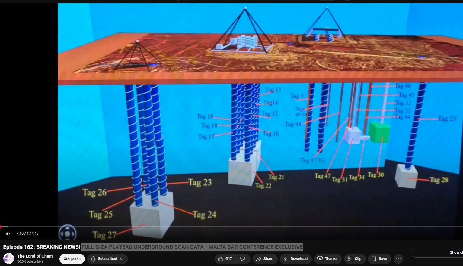
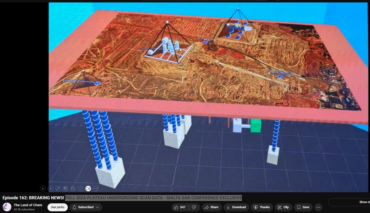
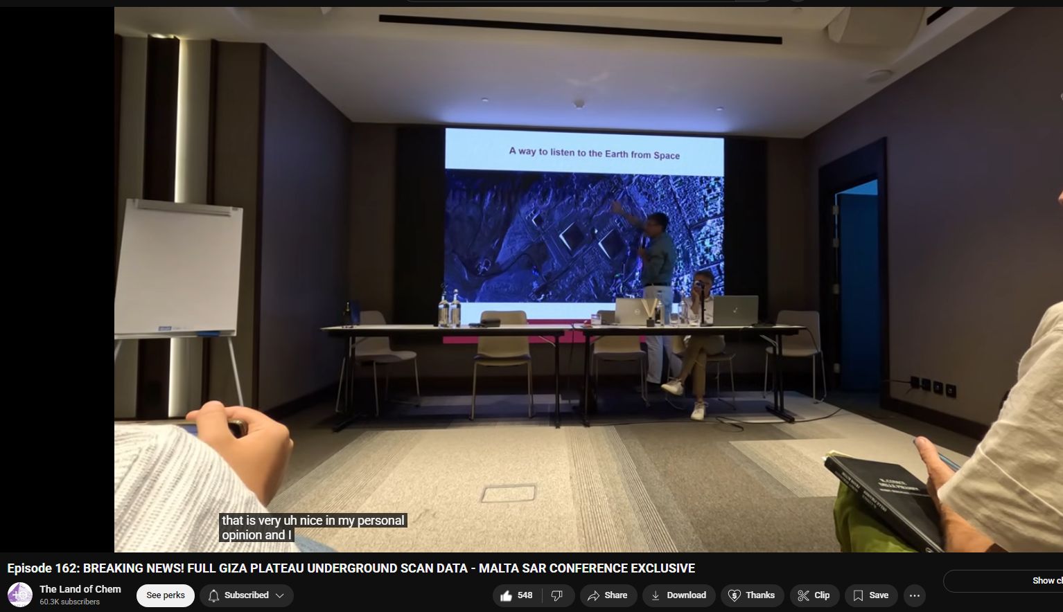
GIZA PYRAMIDS
- SAR has been used from airborne platforms to:
- Identify subsidence or micro-shifts in the terrain around the pyramids.
- Detect buried infrastructure (tunnels, causeways, walls).
- SAR and InSAR (interferometric SAR) can detect micro-movements and structural shifts.
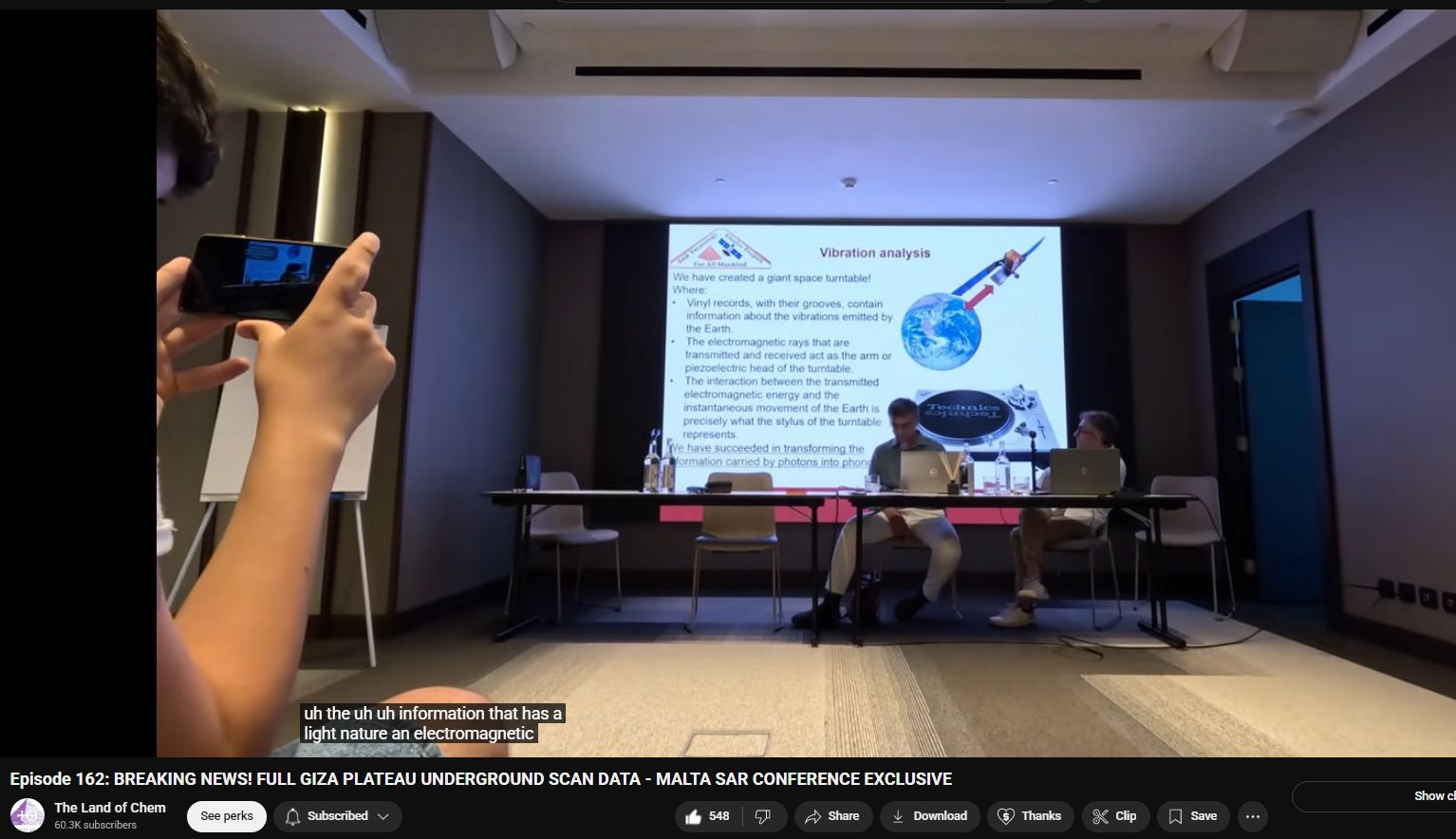
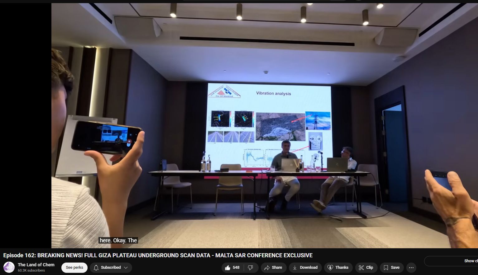
SAR was instrumental in mapping underground water channels, soil layers, and identifying hidden chambers—supplemented with muon tomography.
OTHER INTERESTING USES
- Amazon Rainforest: Penetrating canopy to detect ancient geoglyphs and terra preta sites.
- Syria and Iraq: Mapping buried ruins, tracking looting in ancient cities.
- Mars and Moon missions: Radar altimetry and ground penetration from orbiting spacecraft.
- Disaster Response: Mapping damage after quakes, floods, and tsunamis.
KEY TECHNOLOGICAL ENABLERS
| Component | Purpose |
|---|---|
| Doppler Shift | Used to resolve relative motion and aperture synthesis |
| Phase Coherence | Maintains signal integrity for interference analysis |
| Interferometry (InSAR) | Used to measure terrain height changes over time |
| Polarimetry | Uses multiple polarization modes to discern material types |
| Multi-Frequency | X-band (surface), L-band (penetration), etc. |
CLASSIFIED & MILITARY USE
- SAR can detect camouflaged equipment, underground bunkers, and surface changes invisible to the eye.
- Likely used in:
- HAARP-style atmospheric studies
- Missile detection
- Counter-stealth imaging
- Advanced SAR satellites (e.g. USA’s Lacrosse, India’s RISAT-2BR) likely include high-res polarimetric SAR.
FUTURE & CONSPIRATORIAL ANGLES
- SAR could potentially be used for:
- Mapping ancient buried civilizations (Antarctica?).
- Locating tunnels or underground bases (DUMBs).
- Supporting exotic geological engineering theories.
- Increasing private-sector access (Capella, ICEYE) means greater global surveillance potential by non-state actors.
- Some theorists link SAR to exotic tech investigations, hidden structures, and electromagnetic terraforming operations.
SUMMARY
| Aspect | Detail |
|---|---|
| Inventor | Carl Wiley (Goodyear), 1951 |
| Key Funding | U.S. Air Force, DARPA, NASA |
| Current Users | NASA, ESA, China, India, Russia, Private Firms |
| Technical Capabilities | Radar imaging through clouds, ground, darkness |
| Archaeological Use | Bosnian pyramids, Giza, Mesopotamia, Amazon basin |
| Tech Features | Synthetic aperture via motion, Doppler analysis, phase coherence |
| Surveillance Uses | Military targeting, mapping, infrastructure analysis, disaster zones |
| Future Applications | Advanced planetary science, underground base detection, crop forensics |
🔗 SOURCES
- https://earthobservatory.nasa.gov/features/SyntheticApertureRadar
- https://www.esa.int/Applications/Observing_the_Earth/Sentinel-1/Synthetic_Aperture_Radar
- https://capellaspace.com/technology/
- https://www.researchgate.net/publication/320734230_The_use_of_GPR_and_SAR_in_the_Bosnian_Pyramid_Valley
- https://ntrs.nasa.gov/api/citations/19800004215/downloads/19800004215.pdf
- https://www.scientificexploration.org/docs/18/jse_18_1_baker.pdf
- https://www.asprs.org/wp-content/uploads/2010/12/GPSJanFeb05.pdf